Google Earth Engine——南极洲参考高程模型(REMA)是一个高分辨率、有时间戳的南极洲数字表面模型(DSM),具有2米和8米的空间分辨率

Google Earth Engine——南极洲参考高程模型(REMA)是一个高分辨率、有时间戳的南极洲数字表面模型(DSM),具有2米和8米的空间分辨率

此星光明
发布于 2024-02-02 11:53:13
发布于 2024-02-02 11:53:13
The Reference Elevation Model of Antarctica (REMA) is a high resolution, time-stamped Digital Surface Model (DSM) of Antarctica at 2-meter and 8-meter spatial resolutions.
Mosaicked DEM files are compiled from multiple strips that have been co-registered, blended, and feathered to reduce edge-matching artifacts.
南极洲参考高程模型(REMA)是一个高分辨率、有时间戳的南极洲数字表面模型(DSM),具有2米和8米的空间分辨率。
镶嵌的DEM文件是由多个条带汇编而成的,这些条带经过共同登记、混合和羽化,以减少边缘匹配的人工痕迹。
Dataset Availability
2009-01-01T00:00:00 - 2018-01-01T00:00:00
Dataset Provider
University of Minnesota Polar Geospatial Center
Collection Snippet
ee.Image("UMN/PGC/REMA/V1_1/8m")
Resolution
8 meters
Bands Table
Name | Description | Units |
|---|---|---|
elevation | Elevation | meters |
使用说明:
National Science Foundation (PGC’s primary funding source) policy requires researchers to acknowledge NSF support in all publications, web pages, and media interviews.
By using PGC data in Earth Engine, users agree to cite PGC and its sponsorship by the NSF. The original source of any third-party data supplied by PGC must also be properly attributed.
For more information see the PGC's Acknowledgement Policy.
引用:
Howat, I. M., Porter, C., Smith, B. E., Noh, M.-J., and Morin, P.: The Reference Elevation Model of Antarctica, The Cryosphere, 13, 665-674, 2019.
TC - The Reference Elevation Model of Antarctica
代码:
var mosaic = ee.Image('UMN/PGC/REMA/V1_1/8m');

Map.setCenter(85, -75, 3);

var elevationVis = {
  bands: ['elevation'],
  min: -50.0,
  max: 1000.0,
  palette: ['0d13d8', '60e1ff', 'ffffff'],
};

Map.addLayer(mosaic, elevationVis, 'REMA_DEM_mosaic_8m');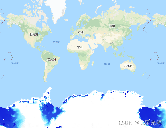
其他版本:
UMN_PGC_REMA_V1_2m
var collection = ee.ImageCollection('UMN/PGC/REMA/V1/2m');

Map.setCenter(85, -75, 3);

var elevationVis = {
  bands: ['elevation'],
  min: -50.0,
  max: 1000.0,
  palette: ['0d13d8', '60e1ff', 'ffffff'],
};

Map.addLayer(collection, elevationVis, 'REMA_DEM_strips_2m');
UMN_PGC_REMA_V1_8m
var collection = ee.ImageCollection('UMN/PGC/REMA/V1/8m');

Map.setCenter(85, -75, 3);

var elevationVis = {
  bands: ['elevation'],
  min: -50.0,
  max: 1000.0,
  palette: ['0d13d8', '60e1ff', 'ffffff'],
};

Map.addLayer(collection, elevationVis, 'REMA_DEM_strips_8m');
本文参与 腾讯云自媒体同步曝光计划,分享自作者个人站点/博客。
原始发表:2024-02-01,如有侵权请联系 cloudcommunity@tencent.com 删除
评论
登录后参与评论
推荐阅读
腾讯云开发者

Copyright © 2013 - 2026 Tencent Cloud. All Rights Reserved. 腾讯云 版权所有
深圳市腾讯计算机系统有限公司 ICP备案/许可证号:粤B2-20090059 ![]() 粤公网安备44030502008569号
粤公网安备44030502008569号
腾讯云计算(北京)有限责任公司 京ICP证150476号 | 京ICP备11018762号